
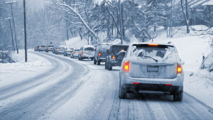

February is anticipated to be a harsh month of snow, ice, and freezing rain, with weather experts cautioning that wintry conditions could impact nearly all regions of the UK as frigid air strengthens its hold. The frosty weather is expected to commence at the end of January as temperatures plummet, ushering in snowfall and chilling winds as February approaches. A period of wintry weather is forecasted over a 48-hour span starting today and continuing into Saturday, January 31, with a cold air mass, exacerbated by a biting southeasterly wind, moving in.
Strong gusts in northern England may cause snowdrifts, while icy surfaces increase the likelihood of slips and accidents. At least eight areas in England, including Cumbria, Derbyshire, Greater Manchester, Lancashire, North Yorkshire, South Yorkshire, Staffordshire, and West Yorkshire, are expected to experience snow during this initial phase. However, early February could see more severe conditions, with models indicating the potential arrival of a significant ‘Beast from the East’ around February 9 and 10, bringing widespread snow and freezing rain across much of the country.
Snowfall is projected to initiate in Scotland, northern England, eastern England, and North Wales before spreading southward throughout the day. By evening, the cold spell may reach London and Bristol, while persistent snow showers are likely to target the East Midlands, East Anglia, and Wales according to WXCharts. During this period, approximately 90% of the UK could have snow cover, with the heaviest accumulations expected in North Wales, northern England, and Scotland. Snow depth forecasts suggest up to 15 inches (39cm) in the North Pennines and 13 inches (33cm) in the Scottish Highlands.
Central and southern England are anticipated to experience lesser impacts, with cities like London and Birmingham expecting only around 1cm of snow. Towards the later part of the month, there is a possibility of another significant snow event, with a substantial snowfall expected to move south from Scotland as far as Oxford on February 12, potentially causing significant disruptions.
The Met Office has cautioned that the risk of snow will heighten as February progresses, with colder air pushing in from the east or northeast. The long-range forecast from February 13 suggests a potential north-south split initially, with wetter conditions likely in the south and drier conditions in the northwest. While wet, milder weather may affect southern and western regions, colder conditions in the north could lead to wintry hazards, especially if precipitation interacts with cold air.
Between February 14 and the end of the month, a southward-shifted jet stream is expected to bring low pressure systems towards and south of the UK, resulting in periods of wet and windy weather. Rainfall is expected to be most frequent in the south, west, and eastern Scotland, with northwest Scotland likely to experience drier conditions compared to normal. The Met Office also mentions the possibility of hill snow in northern parts of the UK as the wet weather meets colder air.