
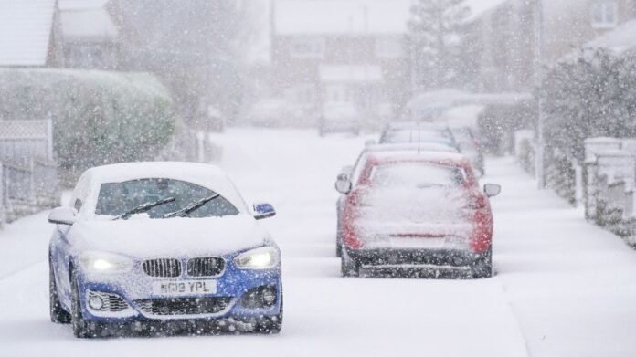

Millions of individuals in the UK are preparing for a significant snowfall of up to 30cm, as forecasters from the Met Office issue warnings about potential power outages and disruptions due to extensive weather alerts. The cold weather is expected to persist into the early days of 2026, with temperatures dropping below freezing and only reaching a maximum of 5C in the upcoming week. An Arctic front moving across the Atlantic is projected to bring heavy snow, sleet, and harsh blizzards.
The icy conditions are set to blanket the UK in the following days, with the Met Office issuing warnings for 12 regions covering the entire country. Various amber and yellow alerts for snow and ice are in effect from midnight on Monday until 11 am on Tuesday for large areas of Scotland, England, Wales, and Northern Ireland.
Meteorologist Matthew Lehnert from the Met Office cautioned, “As we start the first full work week of the year, we are confronted with various winter weather risks including snow showers and icy conditions. In northern Scotland, snow showers will intensify on Sunday night, leading to an additional 20-30 cm of snow accumulation in areas under the Amber warning by Monday morning.”
“Elsewhere in the UK, snow showers, ice, and frost are expected intermittently, but warmer air moving eastward from Tuesday may bring rain primarily in the south. However, there is also a chance of organized snowfall along the boundary between warm and cold air masses. Strong winds could also be a factor later in the week.”
The extreme cold is anticipated to cause delays and cancellations across multiple regions of the UK, with potential power failures in rural areas. The Met Office estimates snowfall between 5-10cm in many parts of the country, with mainland Scotland likely to experience up to 30cm of snow.
Additionally, strong winds are predicted to create blizzard conditions as temperatures plunge to -1C in central and eastern Scotland on Monday. Temperatures are expected to hover around 0C in Northern Ireland and fluctuate between -1C and 2C in Wales, the South West, and South East.
Residents of Manchester and neighboring areas will wake up to frigid temperatures of -4C, with similar conditions expected on Tuesday morning with temperatures ranging from -1C to 1C in Scotland and Northern Ireland. Manchester residents may experience -3C temperatures, while much of Wales, the South West, and South East will be around -2C.
Regions affected by snow and ice warnings include Angus, Aberdeen, Aberdeenshire, Moray, Highlands, Orkney Islands, Shetland Islands in Scotland, and various counties in Northern Ireland, Wales, East Midlands, North West England, South West England, and West Midlands.