
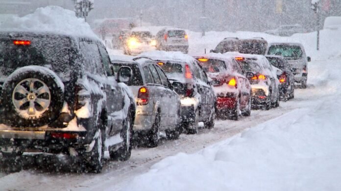

The United Kingdom is preparing for a 10-day period of widespread unsettled weather, with snow expected to cover a large area as temperatures drop heading into February. The Met Office has forecasted a “largely unsettled” spell, bringing continuous downpours, strong gusts, and more snow following the aftermath of Storm Chandra. From February 2 to February 11, there is an escalating risk of snow in the northern regions, accompanied by brisk winds that will intensify the chill. Temperatures are predicted to plummet to freezing levels in Scotland, with Townhill expecting 0°C and Argyll and Bute expecting 1°C.
As February commences, the country continues to grapple with severe floods and snow triggered by Storm Chandra. The recent storm led to the closure of over 350 schools due to heavy snowfall, rain, and winds reaching 75mph in various areas. The Environment Agency issued more than 100 flood warnings in England, including a severe flood warning in Ottery St. Mary, Devon, posing a “danger to life” situation. Residents in a Dorset home park were instructed to evacuate promptly. Tragically, a lorry driver lost his life on Tuesday after extreme weather caused him to crash into a fast-flowing river in Hampshire.
The upcoming long-range forecast from the Met Office, starting on February 2, indicates a heightened risk of snow in the northern region. The forecast suggests continued unsettled weather with showers, rain, and potential hill snow in the north. Temperatures are expected to be near average, with colder conditions possibly in the far northeast. Towards the latter part of the period, a shift in wind direction to an easterly or northeasterly flow is anticipated, bringing colder temperatures and an increased likelihood of snow, especially in the north. The presence of a brisk wind will further enhance the cold conditions.